In this guide
Imlil is a Berber village at about 1,740 m in the Mizane valley, around 65 km (1 h 30 by road) south of Marrakech. It is the main trailhead for Mount Toubkal and the best base for day walks to nearby villages such as Aroumd, Tamatert and Tinerhourhine. You can visit it on a day trip from Marrakech or stay one or more nights in a guesthouse.
Where Is Imlil and Why It Matters
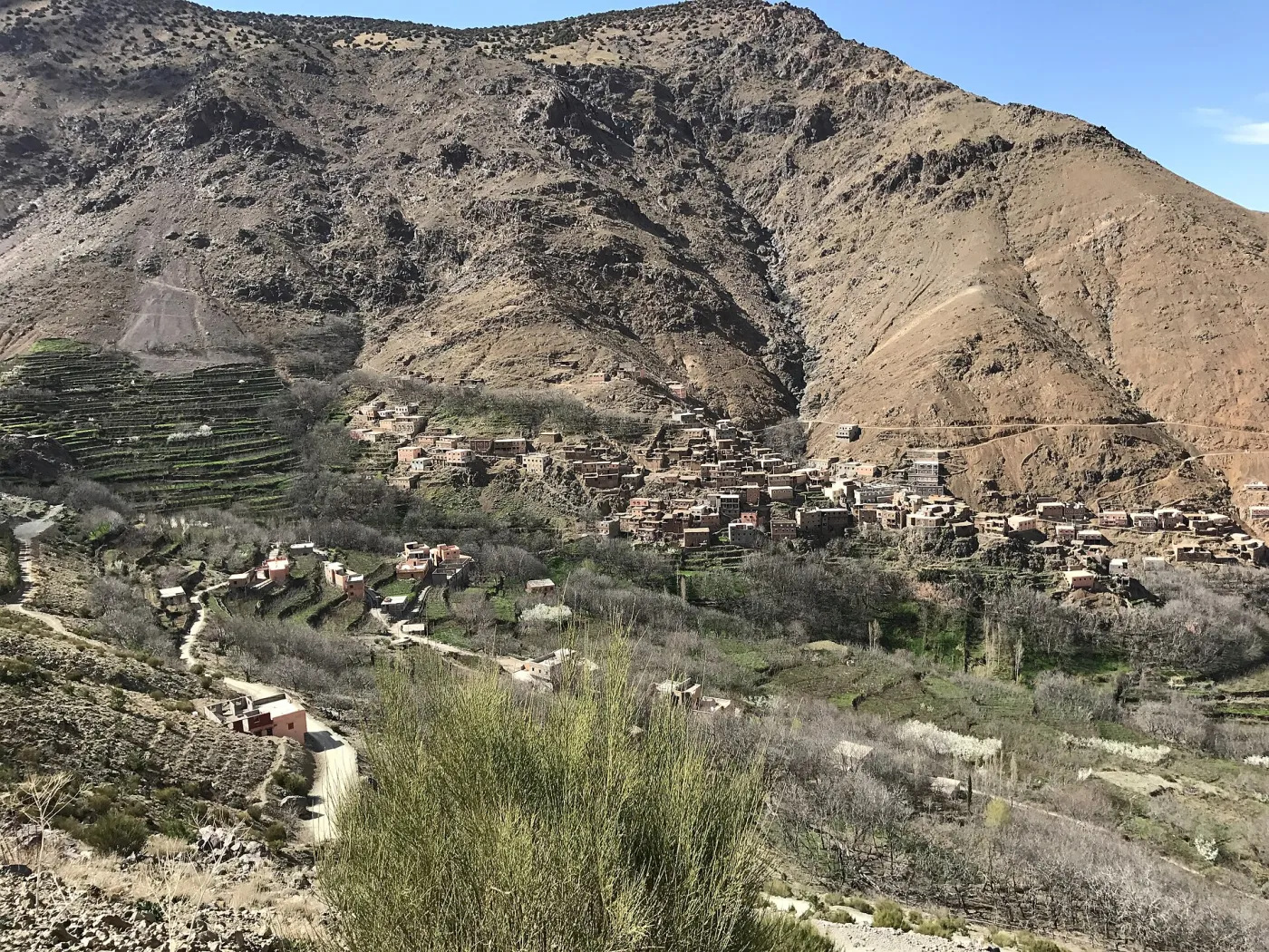
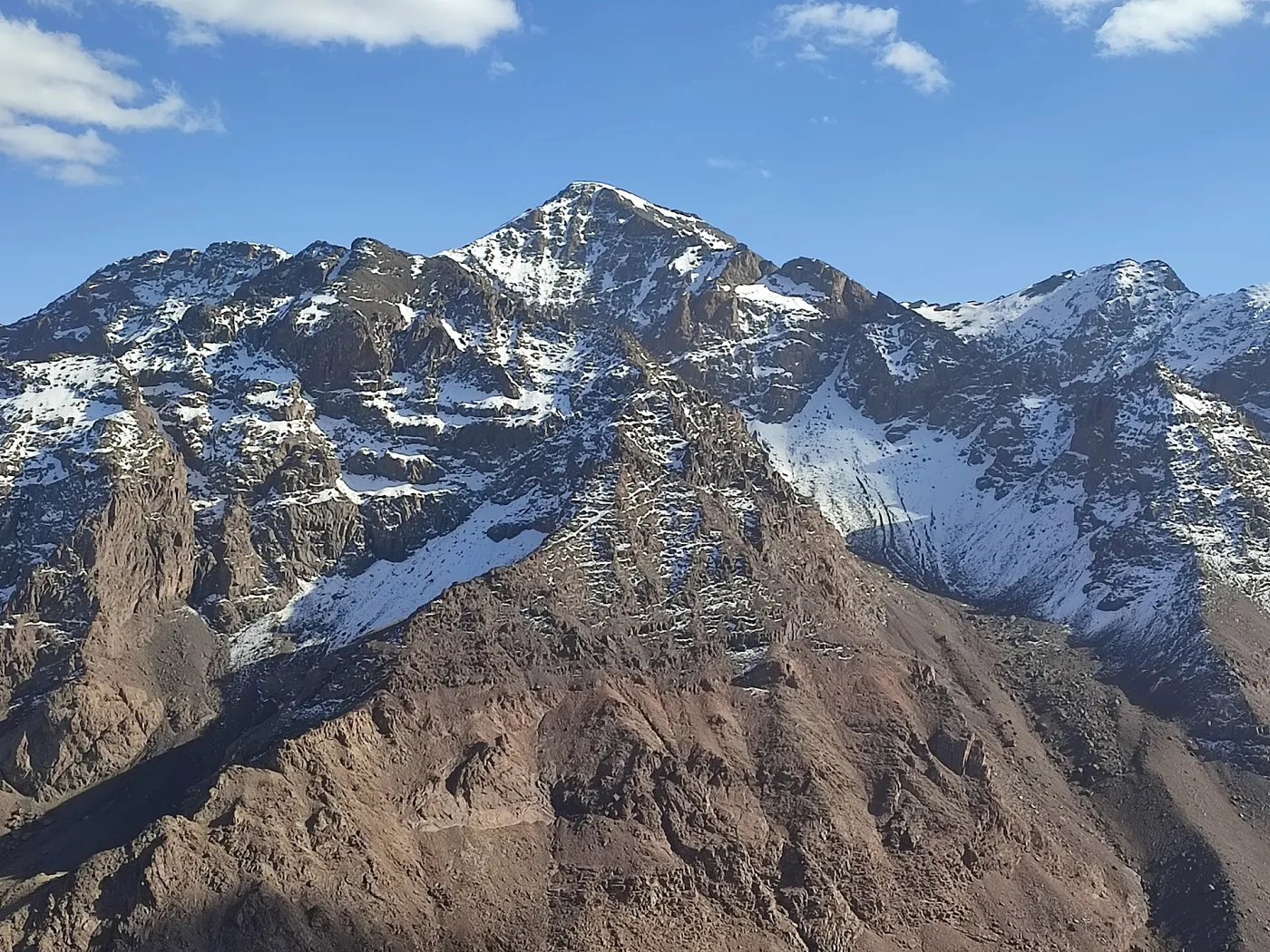
Imlil sits at the head of the Rheraya and Mizane valleys, on the edge of Toubkal National Park. A cluster of hamlets rather than a single town, it is surrounded by terraced fields of walnut, apple, cherry and barley irrigated by traditional channels. For decades it has been the gateway for anyone climbing North Africa's highest peak — our complete Toubkal ascent guide starts right here — but the village rewards a visit in its own right, even if you never plan to reach 4,000 m.
The area was hit by the September 2023 Al Haouz earthquake. Reconstruction has progressed steadily, guesthouses and trails are open, and visitors' spending is an important part of the recovery for local families.
How to Get to Imlil from Marrakech
| Option | Time | Notes |
|---|---|---|
| Private transfer or tour | About 1 h 30 | Most comfortable; door-to-door from your riad |
| Grand taxi (shared) | 2–3 h including changes | From Marrakech to Asni, then another shared taxi to Imlil; prices are approximate and negotiated locally |
| Self-drive | About 1 h 30 | Via the R203 through Tahanaout and Asni; the final 17 km from Asni climbs a narrow mountain road |
The road passes the Saturday market town of Asni, worth a stop if your visit falls on a weekend morning.
Best Things to Do in Imlil
Walk to Aroumd
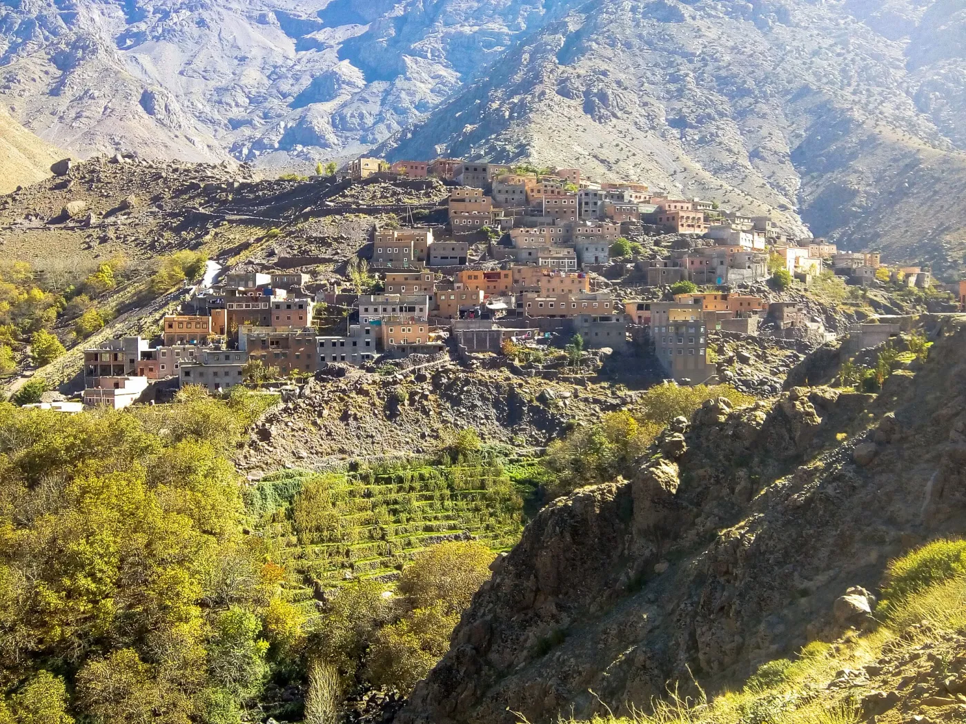
The village of Aroumd (around 1,900 m) sits on a rocky spur above the flood plain, about 45–60 minutes' walk from Imlil. The views across to the Toubkal massif are the classic postcard image of the valley.
Loop through Tamatert and Tinerhourhine
A 3–4 hour loop climbs east to Tamatert and the pass of Tizi n'Tamatert (about 2,279 m), then drops through juniper and walnut groves past smaller hamlets. It is the most popular half-day walk and is included in most guided village hikes.
Sidi Chamharouch
Fitter walkers can continue beyond Aroumd to the white-painted shrine of Sidi Chamharouch (about 2,350 m), roughly 2 h 30 each way from Imlil. Non-Muslims cannot enter the shrine itself, but the surrounding cafés are a lively stop.
Tea with a local family
Mint tea poured from height, fresh bread from a clay oven and honey or amlou (almond and argan spread) are a highlight of any visit. The customs behind this hospitality are explored in our article on Amazigh traditions and village life in the Atlas.
Where to Stay in Imlil
Accommodation ranges from simple family-run gîtes to boutique mountain lodges:
- Gîtes and guesthouses: basic rooms, often with shared bathrooms, typically from about €20–40 per person with half board (approximate).
- Mid-range riads and lodges: en-suite rooms, terraces with mountain views, from roughly €60–120 per room.
- Luxury options: the best-known is the Kasbah du Toubkal, perched above the village, with rates well above those of local guesthouses.
Heating is limited in many cheaper places, so in winter check that rooms have blankets or a stove.
Weather and When to Visit
Because of its altitude, Imlil is 8–12°C cooler than Marrakech. In July and August, when the city reaches 38–45°C, daytime temperatures in the village are a pleasant 25–30°C. Spring (April–May) brings blossom in the orchards and green terraces; autumn (September–October) brings the walnut and apple harvest. From December to February, snow can fall in the village and nights drop below freezing, although the valley walks usually remain possible.
Practical Tips
- Bring cash: card payment is rare; the nearest reliable ATMs are in Asni and Marrakech.
- Dress modestly: covered shoulders and knees are appreciated in villages.
- Ask before photographing people: especially women and older residents.
- Hire a local guide for anything beyond the main trails: it supports the community and a guide is compulsory for the Toubkal summit route.
- Wear proper shoes: paths are rocky and dusty; trainers with good grip are the minimum.
Imlil vs Other Atlas Bases
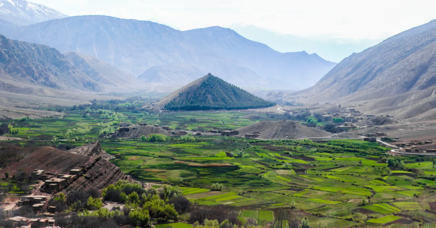
Imlil is higher, more dramatic and more hiking-focused than the Ourika Valley, and busier than the quieter lakeside area of Ouirgane. If you are still deciding between them, our comparison of the valleys you can reach from Marrakech sets out drive times and what each offers. For a calmer alternative with a reservoir and forest walks, see our Ouirgane Valley guide.
A Suggested Day in Imlil
A well-paced day in the valley runs roughly like this:
- 8:30–10:00: drive from Marrakech via Tahanaout and Asni, with a photo stop above the Moulay Brahim gorge.
- 10:00–12:30: walk from Imlil up to Tamatert and over the col, with views across to the Toubkal massif.
- 12:30–14:00: lunch and mint tea in a family home or village terrace.
- 14:00–15:30: descend through walnut groves to Aroumd and back along the valley floor to Imlil.
- 16:00–17:30: return drive to Marrakech.
Walking time is about 4–5 hours with roughly 500–600 m of ascent, which suits most reasonably active visitors. In summer it is worth starting earlier to avoid the midday sun on the exposed sections.
Frequently Asked Questions
Can I visit Imlil as a day trip?
Yes. Leaving Marrakech around 9:00 gives you 4–5 hours of walking and a lunch in a village home before returning by early evening.
Is Imlil suitable for children?
The valley walks to Aroumd are gentle enough for active children from about 7–8 years old; mules can carry younger ones on some sections.
Is there mobile coverage?
Imlil itself has 4G coverage with the main Moroccan networks, but signal becomes patchy higher in the valleys.
Exploring Imlil with a Local Guide
The easiest way to experience the valley in a single day is our Imlil and Berber villages day hike, from €45 per person, with free pickup from your Marrakech hotel or riad, a licensed guide and lunch with a local family. Private and small-group options are available, and you can browse the rest of our High Atlas trekking tours or contact us on WhatsApp to adjust the route to your pace.
Comments